Flying Over Hurricanes For New NASA Mission
2017 · NASA · 2 minutes · 21 shots · Colour
Every shot in Flying Over Hurricanes For New NASA Mission (2017), from NASA's Image and Video Library, with what's on screen and the exact seconds it starts and ends. Each shot was described from its own frames, so you can find the moment you need without scrubbing through the reel.
To use one, add Find Any Footage to Claude and ask for it by number, for example “get me a clip of shot 558”. You get a trimmed MP4 of just those seconds, cut from the archive's best copy, with the credit line.
Add to Claude for freeEvery shot, with timecodes
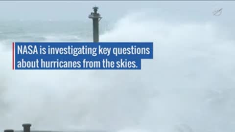
Rough sea waves crashing against a pier with a black pole
0:00.0–0:05.1 (5.1 s) · shot 558

An unmanned aircraft flying in the sky over the East Pacific
0:05.1–0:10.2 (5.1 s) · shot 559
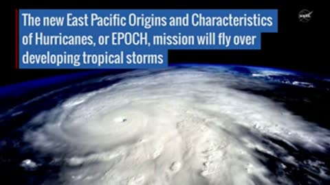
Animated view of a tropical storm over Earth with the East Pacific EPOCH mission text
0:10.2–0:16.3 (6.1 s) · shot 560
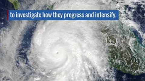
Satellite view of a hurricane progressing and intensifying
0:16.3–0:20.3 (4.1 s) · shot 561

A Global Hawk aircraft on the runway
0:20.3–0:24.4 (4.1 s) · shot 562
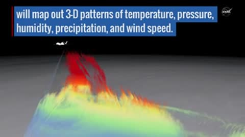
Animation showing atmospheric patterns like temperature, pressure, and humidity mapped out
0:24.4–0:29.9 (5.5 s) · shot 563 · animation

Palm trees bending under strong winds during a storm
0:29.9–0:35.3 (5.5 s) · shot 564
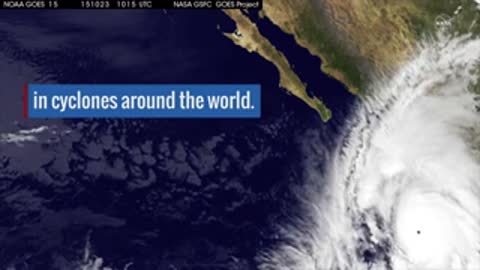
Satellite imagery showing a cyclone from space
0:35.3–0:39.8 (4.5 s) · shot 565
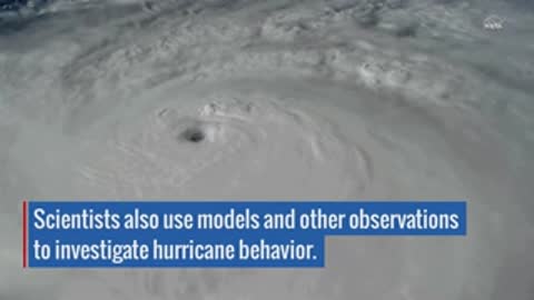
Close view of a hurricane eye from space
0:39.8–0:45.3 (5.5 s) · shot 566
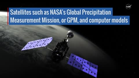
NASA Global Precipitation Measurement Mission satellite in space
0:45.3–0:50.9 (5.5 s) · shot 567 · animation
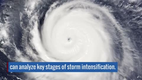
Satellite image showing key stages of a storm intensifying
0:50.9–0:54.9 (4.1 s) · shot 568
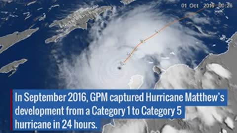
Map tracking Hurricane Matthew developing from Category 1 to Category 5 in September 2016
0:54.9–1:01.8 (6.8 s) · shot 569 · animation
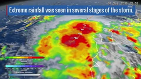
Rainfall radar map of Hurricane Matthew showing extreme rainfall stages
1:01.8–1:07.0 (5.3 s) · shot 570 · animation
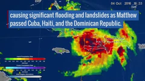
Radar map showing Hurricane Matthew causing flooding and landslides in Cuba, Haiti, and the Dominican Republic
1:07.0–1:12.7 (5.7 s) · shot 571 · animation
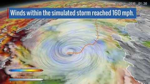
Simulated storm showing winds reaching 160 mph over a coastline map
1:12.7–1:17.7 (5.0 s) · shot 572 · animation
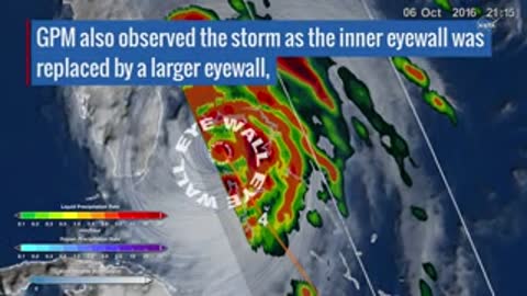
GPM observation of the storm showing inner eyewall replacement with a larger eyewall
1:17.7–1:22.8 (5.1 s) · shot 573 · animation
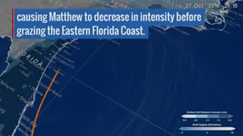
Map showing Hurricane Matthew decreasing in intensity before grazing the Eastern Florida Coast
1:22.8–1:27.8 (5.0 s) · shot 574 · animation
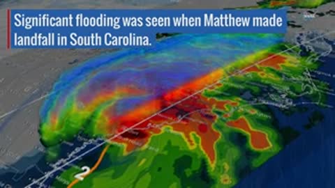
Radar map showing significant flooding as Hurricane Matthew made landfall in South Carolina
1:27.8–1:34.1 (6.3 s) · shot 575 · animation
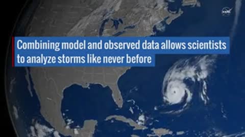
Satellite view showing combined model and observed data analyzing a storm over North America
1:34.1–1:39.9 (5.8 s) · shot 576 · animation

Rough sea waves crashing against a pier with a black pole
1:39.9–1:45.7 (5.8 s) · shot 577

NASA Earth Right Now logo animation on a black background
1:45.7–1:49.7 (4.0 s) · shot 578
More from NASA
- NASA Continues Test Series for Redesigned Artemis Moon Rocket Engines · 2023 · 24 shots
- NASA’s X-59 Quiet Supersonic Aircraft Begins Taxi Tests Broll · 2025 · 10 shots
- X-59 Second Flight B-Roll · 2026 · 14 shots
- Orion's Preparations for Artemis II · 2025 · 57 shots
- U.S. Spacewalk 95 Animation – March 17, 2026 · 2026 · 43 shots
- Apollo Digest Series: Mission Control · 2021 · 69 shots